Schleuningsteine and Dicke Steine
East of Ulrichstein-Koelzenhain, on the western slope of the Hauberg are the Schleuningsteine and the Dicken Steine of Ulrichstein.
Ulrichstein is also called Mullstaa in the vernacular, around which many legends entwine. Find out more at the Geopark-Infocenter Vorwerk in Ulrichstein.
Aisle-shaped breaches from basalt columns
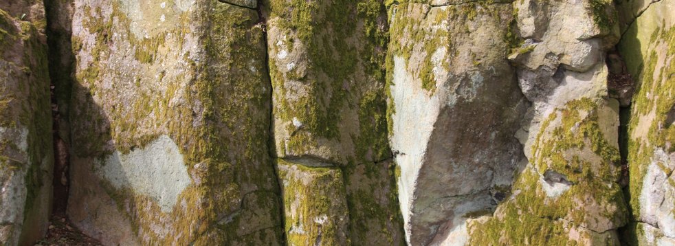
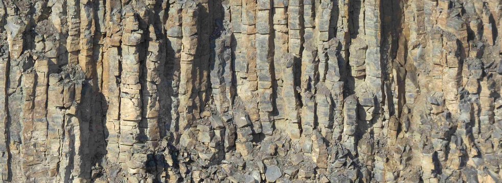
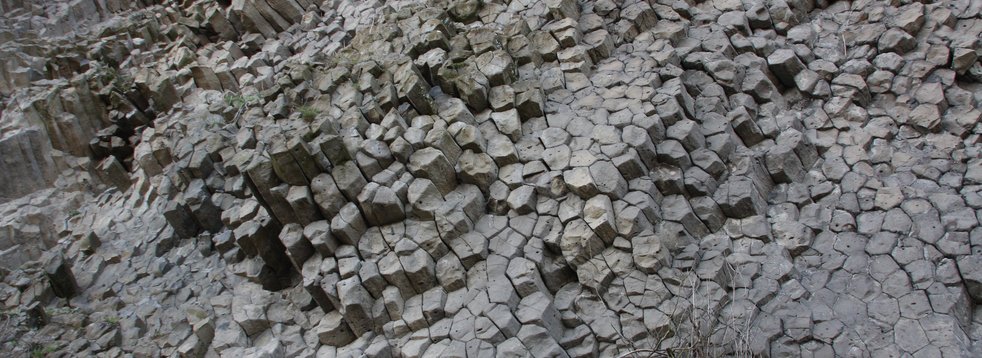
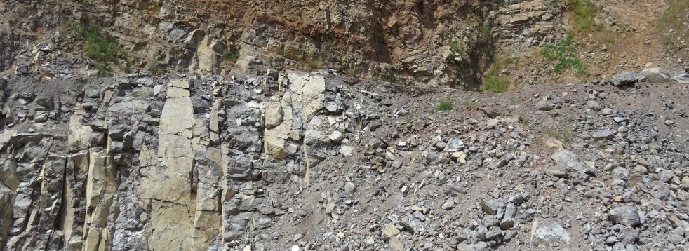
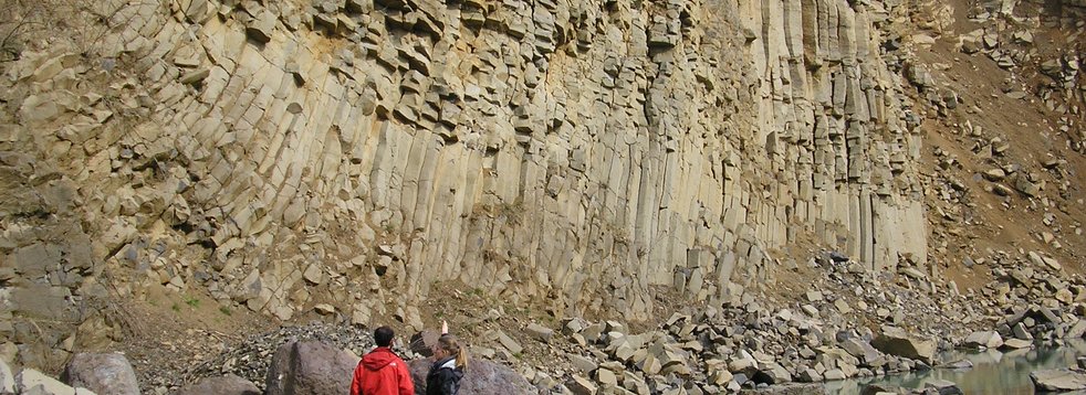
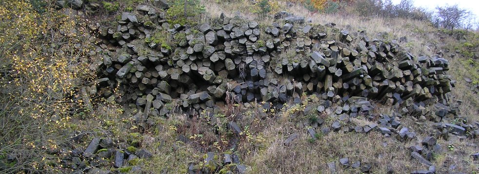
After the former mayor of Feldkruecken, Wilhelm Schleuning, a rock group is named, which is located about 700 m northeast of Ulrichstein-Koelzenhain. The Schleuningsteine, which are listed as a natural monument and have a commemorative plaque, consist of vertical basalt columns protruding up to 5 m from the ground, which are formed by tectonic fissures. It is an aisle-shaped opening made of basanite. Olivine nodules and plagioclase are enclosed in the ground mass, the few bubble cavities are filled by zeolites.
Am Stein (At the stone)
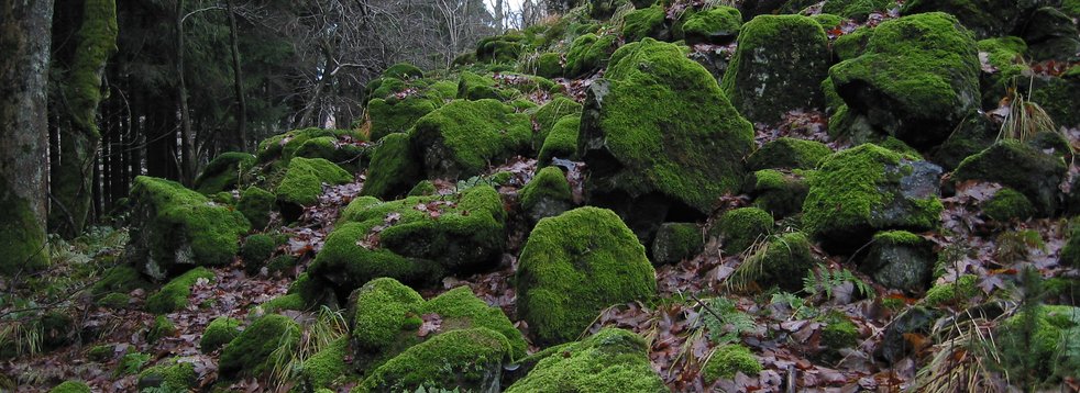
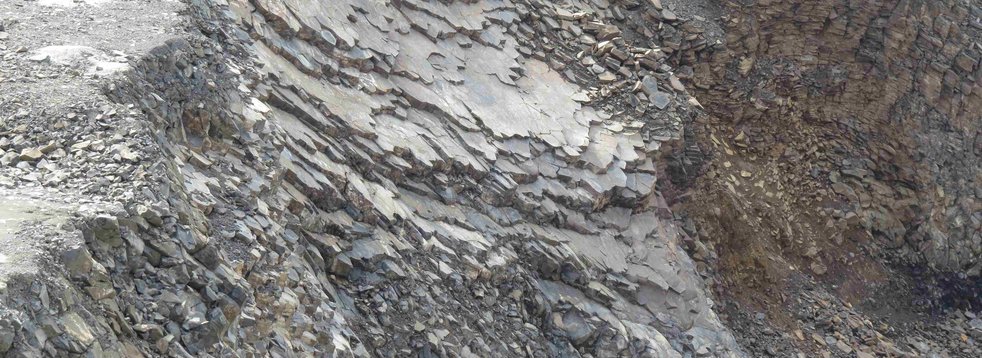
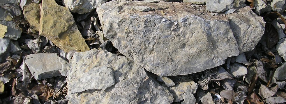
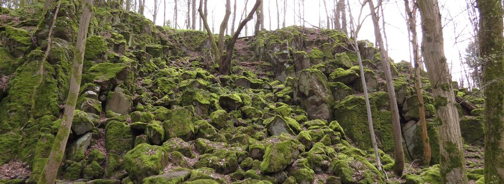
About 100 m further east there is the rock group "Am Stein", which is also known as "Dicke Steine". The rock consists of the same material as the Schleuningsteine. The 6 m high rock group is surrounded by a block debris area, on which broken off parts of the basalt columns have accumulated.
Souvenirs from the mantle
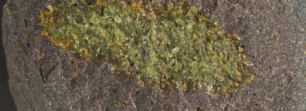
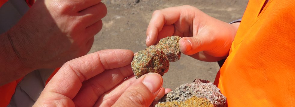
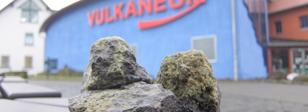
The rock is relatively poor in silicic acid (SiO2) and is called basanite - a subgroup of basalt. It also contains many fragments of the upper mantle (peridotite xenoliths). These show that the magma was transported more or less directly from the upper mantle to the surface without being chemically altered in the earth's crust. The rise of the magma was relatively fast, so that the fragments were carried away. These often appear olive green to brown. Among other things, the mineral olivine, which is typical for the earth's mantle, is responsible for this. The fragments allow a rare insight into the chemical and mineralogical composition of the upper mantle of the earth, which remains blocked to this day due to the enormous pressure and the high temperature. Only these "souvenirs" of the volcanoes give us insights into the chemical and physical properties of the upper mantle, which begins here in Central Europe at a depth of about 30-35 km.
Location, reachability & walkability
Both rock formations are accessible by several hiking trails: Volcano path, basalt path and Volcano ring Vogelsberg. A detour of only a few metres is also possible from the Hessian long-distance cycle route R4 to these geological sights.
- GPS N 50°33'39.6'' E 9°10'40.3''
- UTM 32 U 512598/5601022
Literature
- Ehrenberg, K.-H. & Hickethier, H. (1985). Die Basaltbasis im Vogelsberg. Schollenbau und Hinweise zur Entwicklung der vulkanischen Abfolge. Geol. Jb. Hessen (113), 97–135.
Francis P. & Oppenheimer, C. (2004). Volcanoes. Oxford University Press. New York.
Reischmann, T. & Schraft, A. (2009). Der Vogelsberg: Geotope im größten Vulkangebiet Mitteleuropas. Hessisches Landesamt für Naturschutz, Umwelt und Geologie. Wiesbaden.


