Geotope Amoeneburg
The town of Amoeneburg is situated on a former volcanic vent. Next to it - on a second, somewhat smaller volcanic vent - are the ruins of the medieval Wenigenburg. These two elevations tower above the plain of the Amoeneburg Basin, through which the Ohm meanders.
The Amoeneburg Basin
The Amoeneburg Basin is part of the Hessian depression and thus part of the "Mediterranean-Mjoesen zone" - a fault structure that crosses the European continent from south to north. The Upper Rhine Graben is also part of this supra-regional structure. The Amoeneburg Basin is dominated by tertiary sediments and floodplain sediments such as silt, clay, sand and quartzite. The loose rocks form a flat plain which is divided by the Ohm.
In this area, the volcanic vents on which the city of Amoeneburg (365 m NHN*) and the ruins of the Wenigenburg (285 m NHN*) are located stand out strikingly above their surroundings.
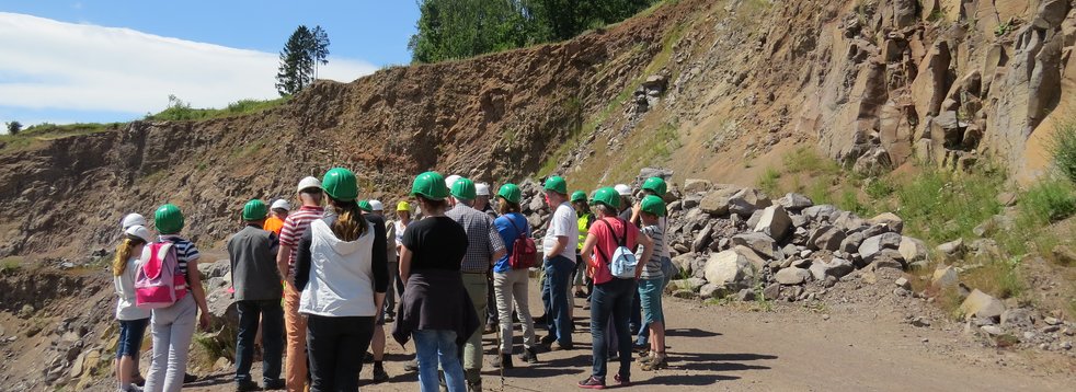
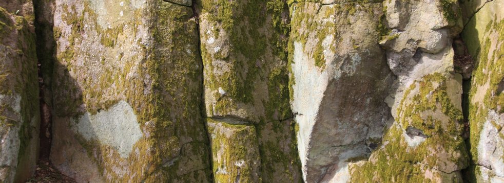
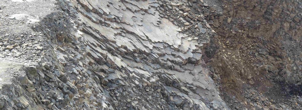
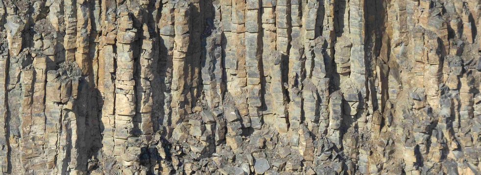
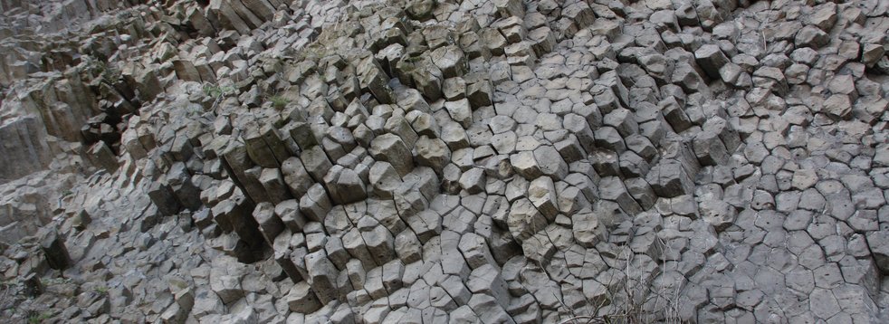
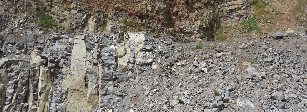
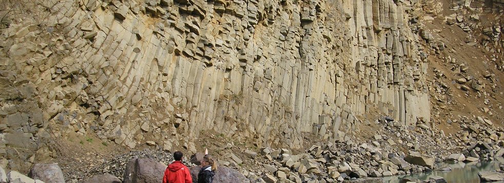
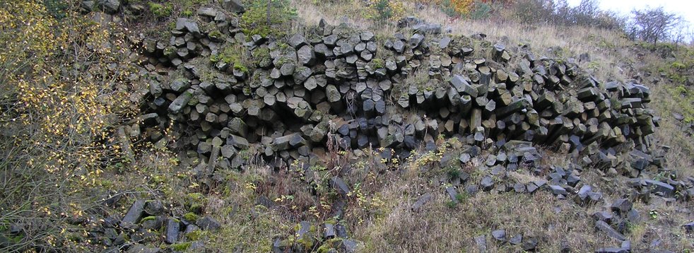
At the eastern entrance to the upper town of Amoeneburg, shallow cooling columns of basanite (volcanic rock, poor in SiO2) are exposed, which point towards the observer. This is particularly impressive on the 25 m high east wall. The flat collapse (orientation of the columns) can be seen everywhere during a walk around the upper town and can be interpreted as a “Meilerstellung”. From this it can be deduced that there must have been a former volcanic vent that filled with glowing magma. During the calm and undisturbed cooling of the molten rock, columns formed perpendicular to the cooling surface.
Today the surrounding rock, which once encircled the vents and was relatively soft, has been eroded, so that the central volcanic complex protrudes from the plain as a crest because of its hardness.
One can only speculate about the original height of the vents as well as about the type of volcanism (explosive vs. calm lava flow). The powerful force of erosion (weathering and rearrangement of rocks) has irretrievably destroyed the upper part of the former volcanic vents and possible lava flows in the surrounding area. Tuffs (solidified ash deposits) have been found in various places. This indicates that the volcanic activity in Amoeneburg must have been at least temporarily explosive.
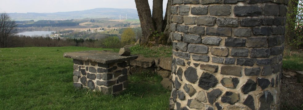
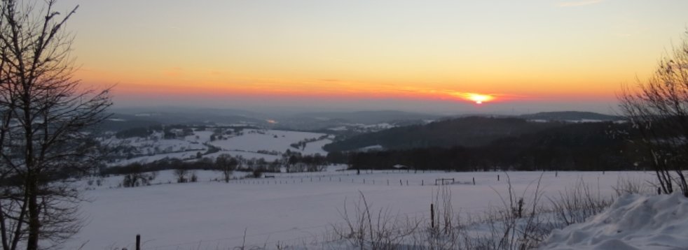
From the summit of the hilltop one has a fantastic view of the surrounding areas. Also, worth a visit are the medieval castle ruins and the church as well as a walk through the winding alleys of the old town and across the market square.
Basalt columns in "Meilerstellung"
The rocks (basanite) represent magma that has never reached the earth's surface. It cooled in the vent of a former volcano, which was volcanically active during the Tertiary period about 18-16 million years ago. The columns that are still visible today, which have cooled slowly and quietly - i.e. without movement - show a radial-beam arrangement today.
This means that there is a common centre from which the columns are arranged radially outwards. Because of the similarity to the orientation of the wood in a charcoal pile, this arrangement of the columns is called a “Meilerstellung”. Basalt columns always cool down perpendicular to the cooling direction. Their arrangement as milestones indicates that there was a vent here.
Location, reachability & walkability
The geotope on the east side of the hill is located directly on the road K 30, which leads to the upper town of Amoeneburg. The nature trail in the nature reserve "Amoeneburg" leads along the outcrop. The Hessenradfernweg 6 passes near the town of Amoeneburg.
- GPS N 50°47'43.8'' E 8°55'22.4''
UTM 32 U 494566/5627086
Literature
Blanckenhorn, M. (1930a). Geologische Karte von Preußen und benachbarten deutschen Ländern 1:25000, Blatt Amöneburg-Homberg a.d. Ohm [TK 25, Bl. 5219 Amöneburg]; Berlin.
Blanckenhorn, M. (1930b). Erläuterungen zur Geologischen Karte von Preußen und benachbarten deutschen Ländern 1:25000, Blatt Amöneburg-Homberg a.d. Ohm [TK 25, Bl. 5219 Amöneburg]; Berlin.
Ehrenberg, K.-H. & Hickethier, H. (1985). Die Basaltbasis im Vogelsberg. Schollenbau und Hinweise zur Entwicklung der vulkanischen Abfolge. Geol. Jb. Hessen (113), 97–135.
Francis P. & Oppenheimer, C. (2004). Volcanoes. Oxford University Press. New York.
- Reischmann, T. & Schraft, A. (2009). Der Vogelsberg: Geotope im größten Vulkangebiet Mitteleuropas. Hessisches Landesamt für Naturschutz, Umwelt und Geologie. Wiesbaden.
* NHN = Normalhöhenull (Bundesamt für Kartographie und Geodäsie, Frankfurt am Main)


