Geotope und natural monument Dicker Stein in Engelrod
The geotope near Lautertal probably represents the remains of a volcanic vent over which magma found its way to the top. The powerful force of erosion (weathering and removal) prepared the vent as shown in the four sketches below:
(1) During the volcanism, rocks were formed which show different resistance to weathering. Note: The type of volcano shown is only a possible example.
(2) When the volcano finished its activity, the erosion of the rocks began.
(3) Loose material and later also the rocks surrounding the vent were crushed and finally transported away by water.
(4) The rock of the vent is dense and hard, so that it resists weathering for a long time. It forms the elevated rocks of the geotope.
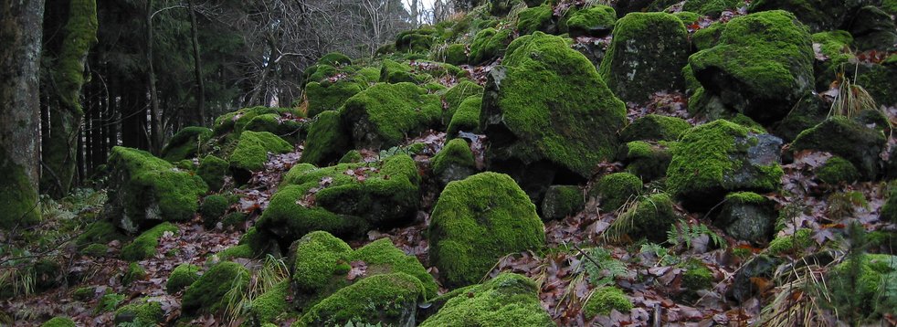
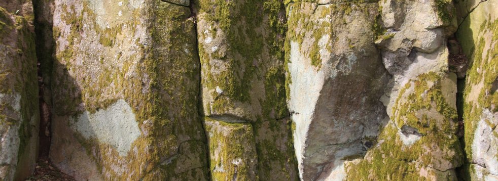
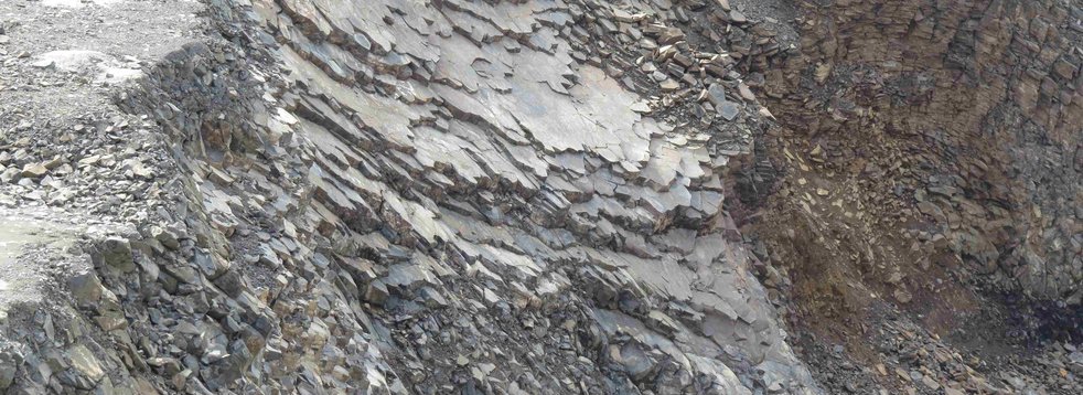
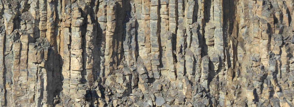
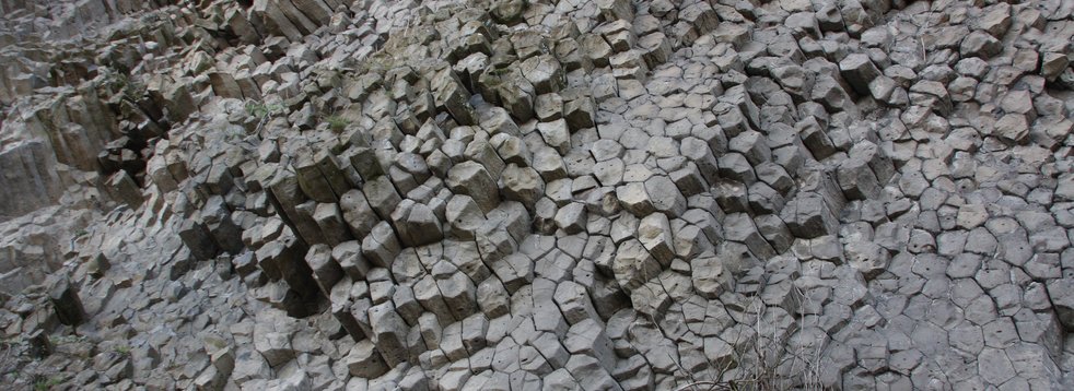
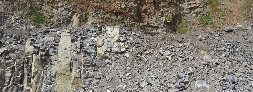
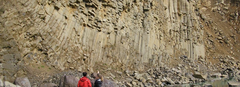
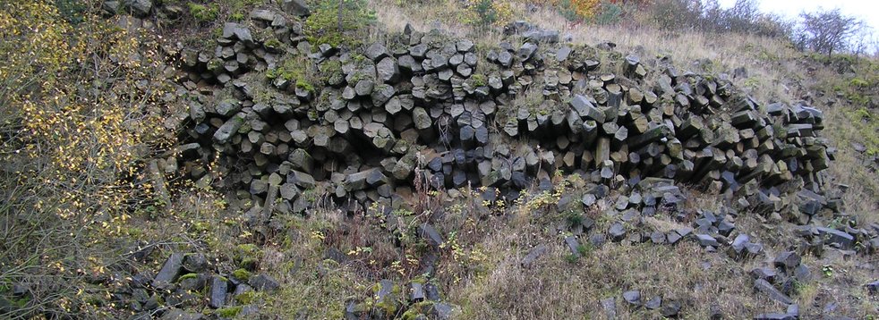
Fissures visible in the rock were mainly caused by cooling and the associated shrinkage of the melt. If a melt is still flowing while it is cooling, parallel fissures form in the direction of flow and plates form between them - as can be seen here in part. Some of the blocks are tilted and no longer in their original position.
The interplay of rock hardness, weathering and erosion has shaped the geotope to its present appearance over millions of years.
Literature
- Ehrenberg, K.-H. & Hickethier, H. (1985). Die Basaltbasis im Vogelsberg. Schollenbau und Hinweise zur Entwicklung der vulkanischen Abfolge. Geol. Jb. Hessen (113), 97–135.
Reischmann, T. & Schraft, A. (2009). Der Vogelsberg: Geotope im größten Vulkangebiet Mitteleuropas. Hessisches Landesamt für Naturschutz, Umwelt und Geologie. Wiesbaden.


