Geotope Geiselstein
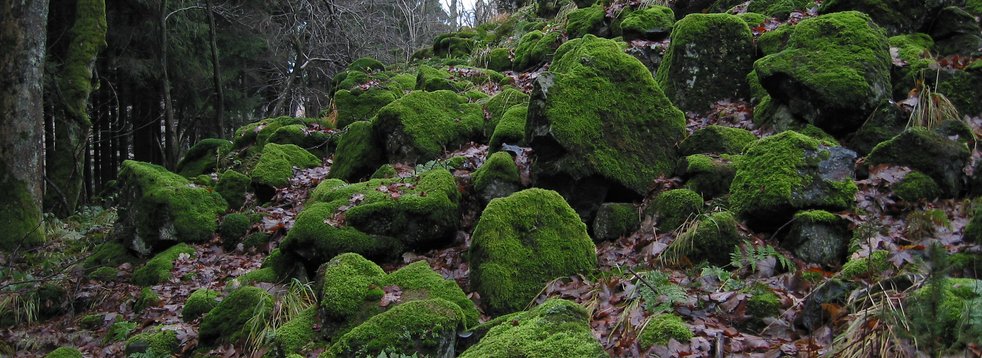
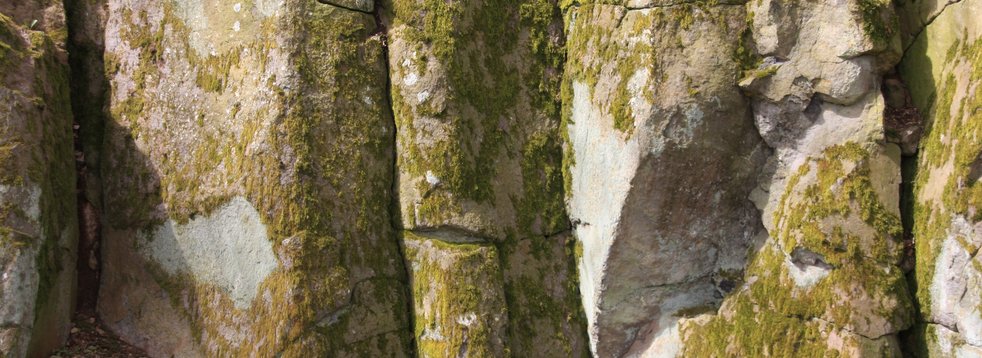
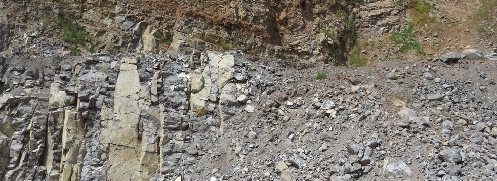
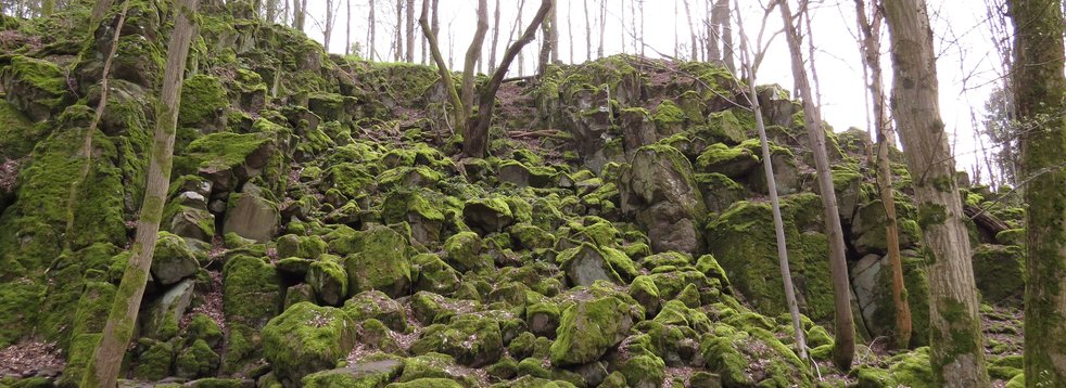
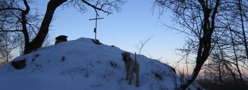
The north pole of the Vogelsberg! The rocks of the 720 m high Geiselstein are special: they are magnetic. A compass needle can be deflected in the immediate vicinity of the rock. Instead of the usual north direction, the needle points to the summit.
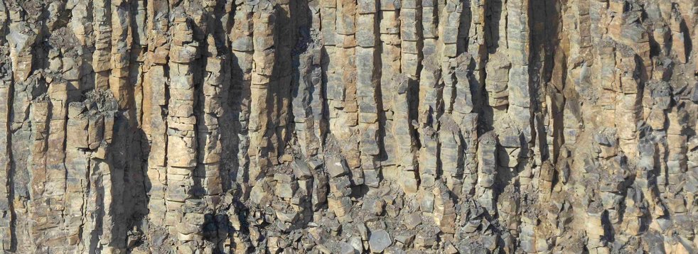
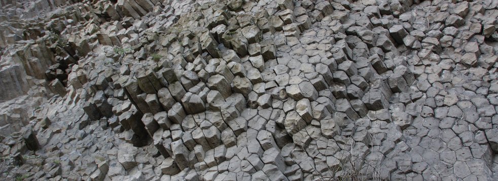
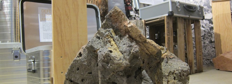
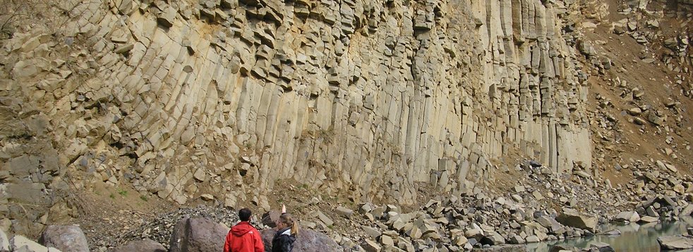
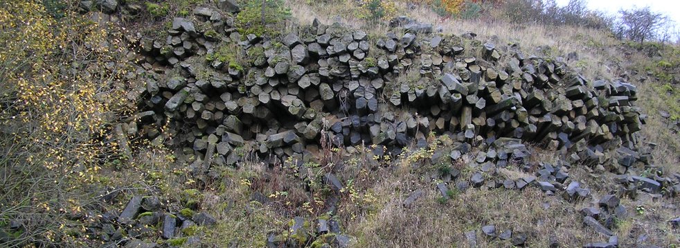
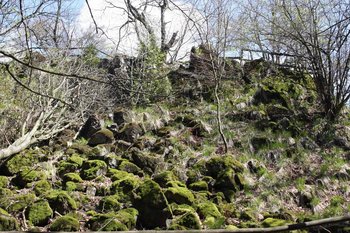
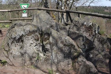
The rocks of the Geiselstein were formed as liquid basaltic magma in a volcanic conveyor channel that reached the earth's surface. The rock is low in silica (SiO2), so it is called basanite - a subgroup of basalt.
Rocks' building blocks
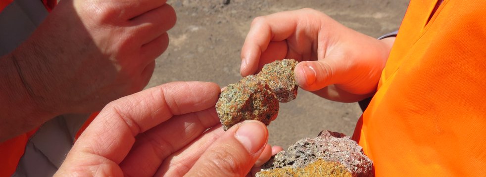
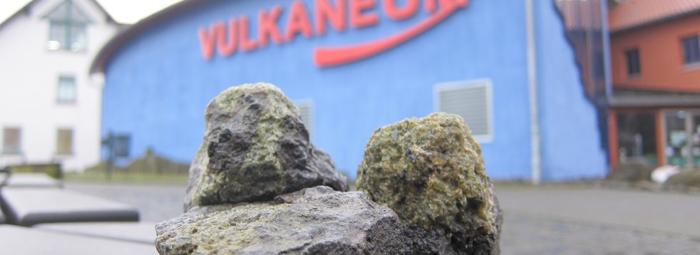
Like any rock, basalt also consists of various minerals - the building blocks, so to speak. Minerals differ from each other in their chemical composition and structure. Some minerals are magnetic (ferrimagnetic) - for example magnetite. Magnetite (iron ore) consists almost 72% of iron. Only a few traces of this strongly magnetic mineral determine the magnetic properties of the rocks. Compared to other rocks, the basalt on the Geiselstein contains a higher proportion of magnetite, which explains its magnetic properties.
The north pole of the Vogelsberg is therefore based on the mineralogical composition of the rock.
The temperature at which rock "freezes"
In liquid rock, the minerals float around in disorder, like small almond sticks in a thin cake dough. Especially the magnetic components (especially magnetite) in the molten rock therefore orient themselves along the earth's magnetic field. If the "rock slurry" (lava) continues to cool down, it becomes increasingly viscous and "thicker" (highly viscous) and the magnetic minerals are quasi frozen in their position - they all align more or less in the same direction. This gives the rock a magnetic polarization. If the Earth's magnetic field changes, which means that the magnetic poles of the Earth shift or even reverse - this has happened several times in the Earth's history - the minerals in the rock remain in their position. Thus, the direction of the Earth's magnetic field at the time of the formation of the rock is recorded.
The proportion of magnetite in the Geiselstein is relatively high, so that there is a weak - but measurable - magnetization that deflects the compass needle.
Location, reachability & walkability
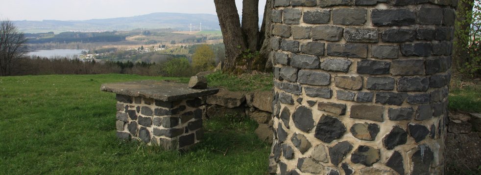
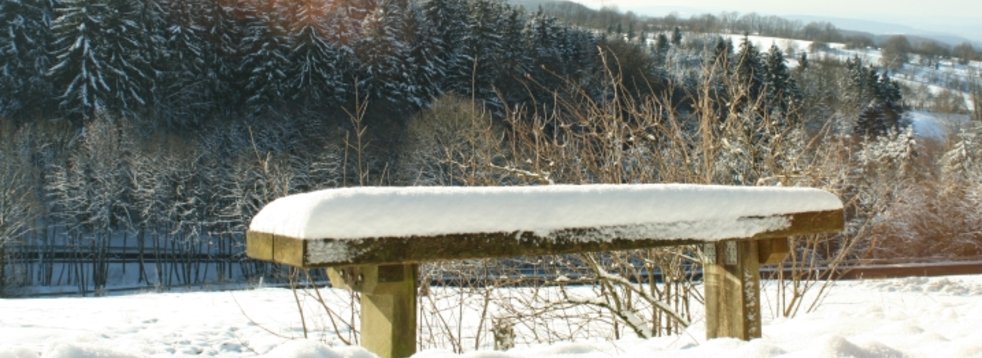
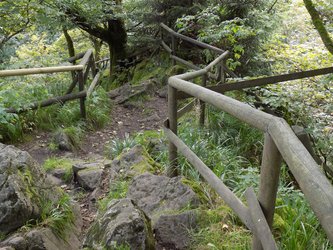
The Geiselstein can be reached from the Heide car park on the L 3291 in just a few minutes via the Hoehenrundweg (high circular trail) marked with a green H. The trail is a short walk from the car park. Also the Landgrafenweg marked with a red bar and the Baronenweg marked with a blue + lead past the Geiselstein. Cyclists use the Ohmtal-Tour.
The geotope is located within the nature reserve. Please stay on the marked paths!
- GPS N 50°32'0.7'' E 9°14'34.6''
- UTM 32 U 517217/5597983
Literature
- Ehrenberg, K.-H. & Hickethier, H. (1985). Die Basaltbasis im Vogelsberg. Schollenbau und Hinweise zur Entwicklung der vulkanischen Abfolge. Geol. Jb. Hessen (113), 97–135.
Reischmann, T. & Schraft, A. (2009). Der Vogelsberg: Geotope im größten Vulkangebiet Mitteleuropas. Hessisches Landesamt für Naturschutz, Umwelt und Geologie. Wiesbaden.


