Geotope Ulrichstein Castle Hill
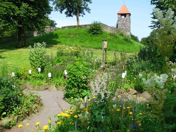
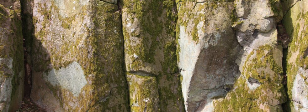
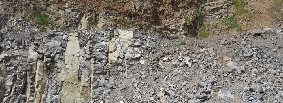
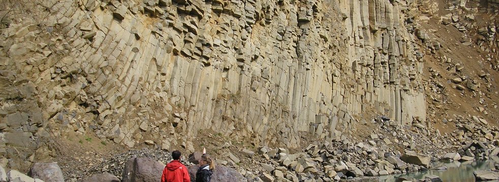
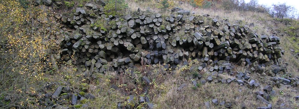
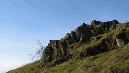
The forces of weathering have prepared the former volcanic vent of the Schlossberg in Ulrichstein.
The earth's power
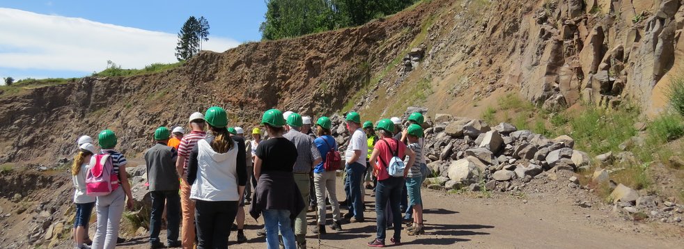
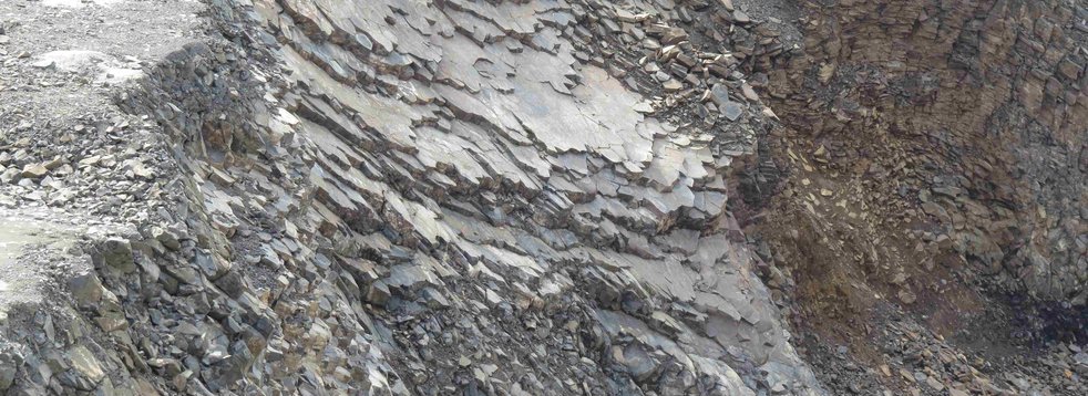
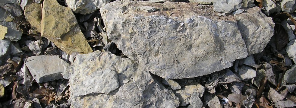
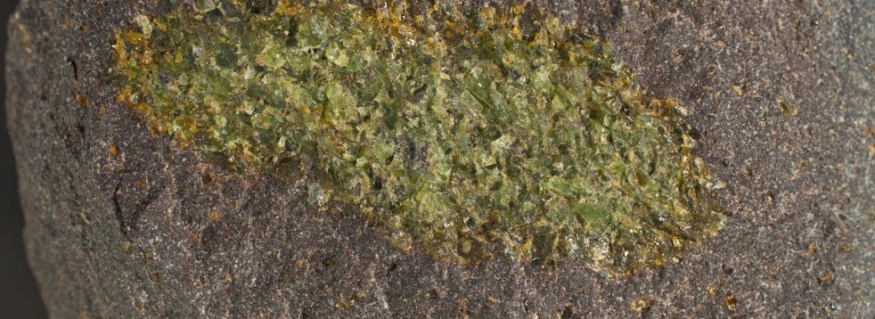
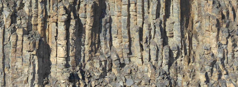
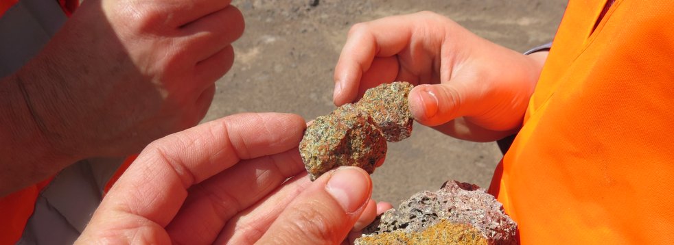
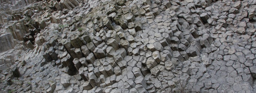
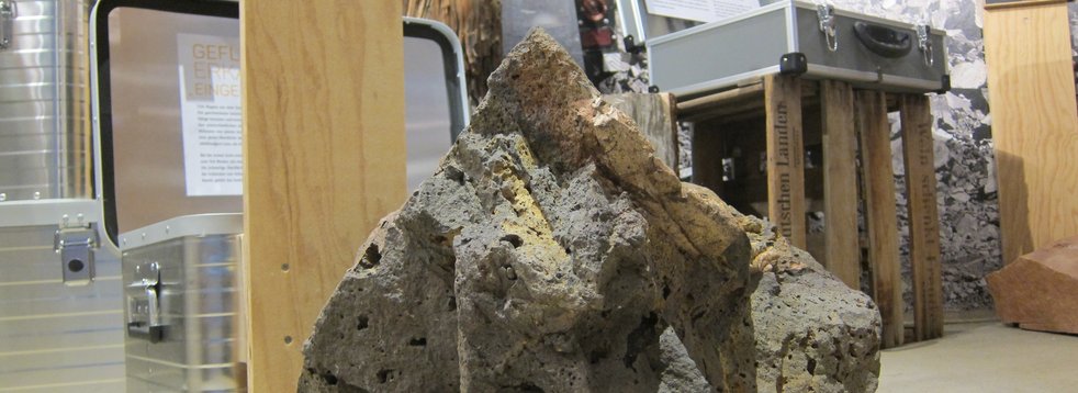
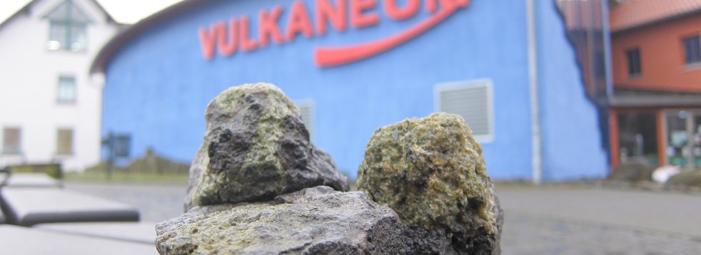
About 15 million years ago, molting magma penetrated older rock layers here, forming a volcanic vent. In addition to lava, volcanic fall deposits (tephra) such as ash and lapilli were brought to the surface. The former volcano also had explosive phases - this is proven by some rocks (funnel breccia) in the area. These are mostly older rocks, which are torn or smashed by the explosion.
The Ulrichstein Castle Hill is connected to other breakthroughs (Gackerstein und Bilstein) in the surrounding area, which lie along a north-south fault (fractures and faults in the earth's crust), the largest of which is the one. In the second volcanic phase in the Vogelsberg magmas were extracted that were relatively low in silica (SiO2), which is called basanitic.
The special feature of the castle hill
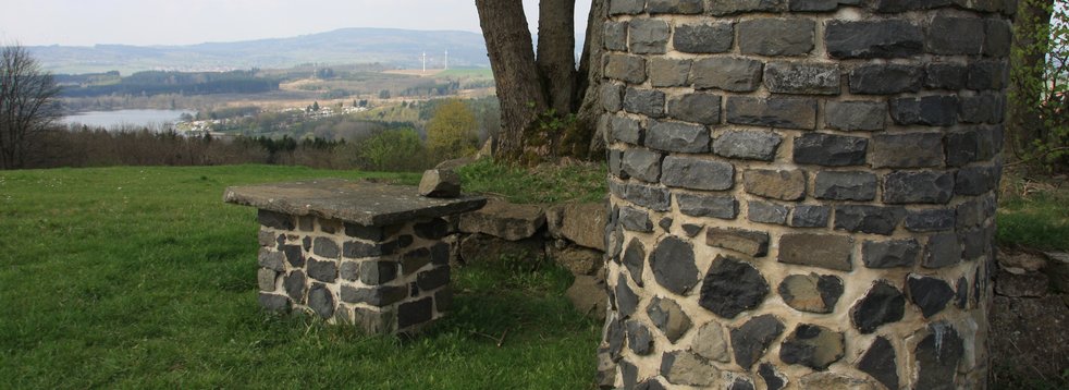
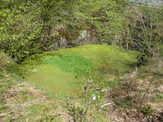
On the Castle Hill there is a fountain area whose water level is stable all year round and subject to only minimal fluctuations. The deepening was created by human intervention, but the water is of natural origin.
Where does the water come from?
One possibility is seepage of surface water. However, since the water level remains relatively constant even during periods of prolonged drought or increased rainfall, this seems unlikely. In addition, pumping attempts by the local fire brigade led to the realization that the water level does not change even with stronger pumping, which presupposes a steady and relatively strong afterflow of water.
Presumably this water place is ensured by an underground connection of a spring, which is on the same level as the Castle Hill. This would at least explain the observation. The principle of communicating tubes (hydrostatic paradox) could provide the answer. At least two vessels (here the well) are connected. Since gravity and air pressure can be assumed to be constant, a liquid in both vessels will have the same level.
Where the second "vessel" - i.e. the source - is located has not yet been clarified. Similarly high areas exist around Ulrichstein, such as the Hauberg (618 m NHN) or Eckmannshain (622 m NHN).
Location, reachability & accessbility
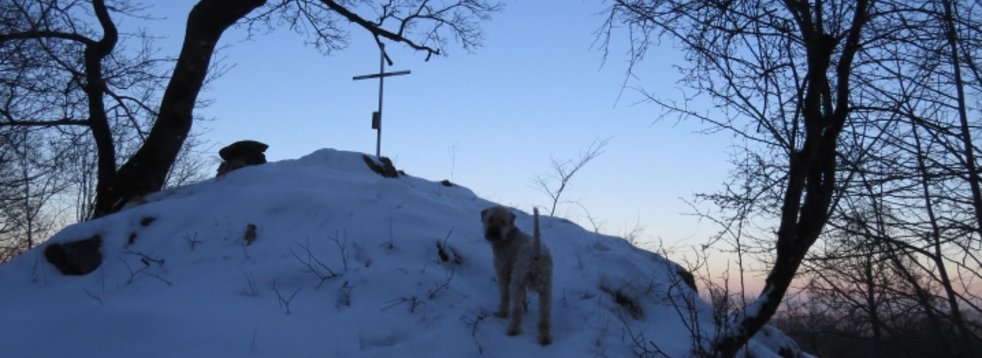
The Ulrichstein Castle Hill elevateson the western outskirts of the town. Among others, the WeitblicktourUlrichstein leads over the Castle Hill.
- GPS N 50°34'34.0'' E 9°11'24.9''
- UTM 32 U 513471/5602707
Literature
- Ehrenberg, K.-H. & Hickethier, H. (1985). Die Basaltbasis im Vogelsberg. Schollenbau und Hinweise zur Entwicklung der vulkanischen Abfolge. Geol. Jb. Hessen (113), 97–135.
Reischmann, T. & Schraft, A. (2009). Der Vogelsberg: Geotope im größten Vulkangebiet Mitteleuropas. Hessisches Landesamt für Naturschutz, Umwelt und Geologie. Wiesbaden.


