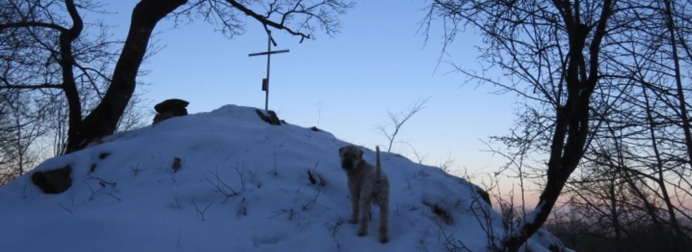
Geotope Wilde Saudeck
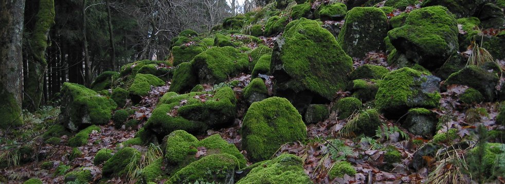
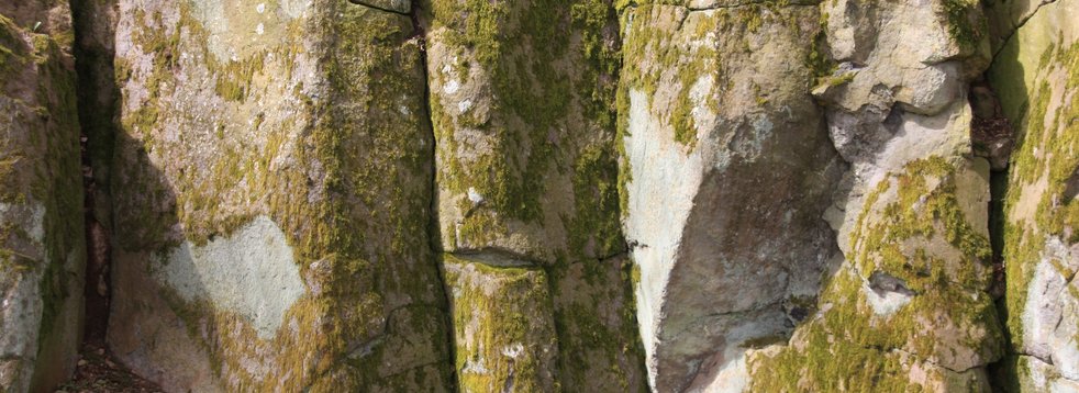
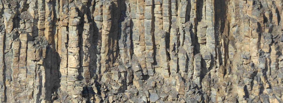
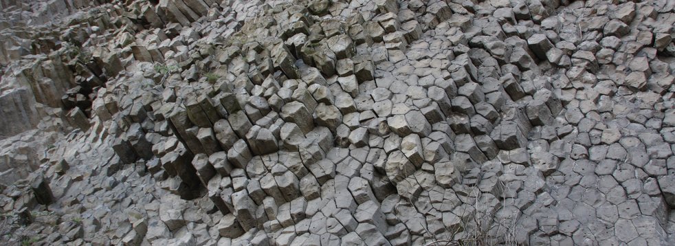
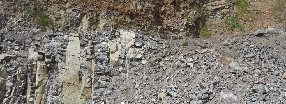
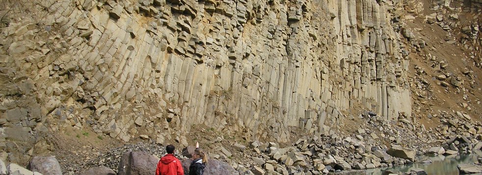
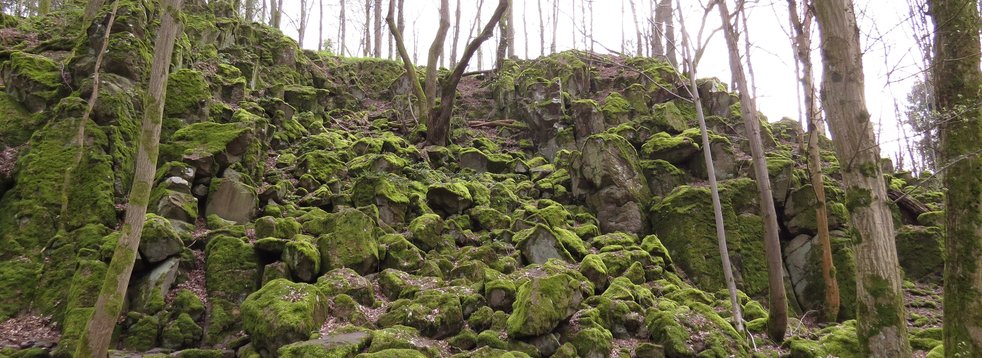
The unusual name Wilde Saudeck bears a rock formation north of Schotten-Sichenhausen. On the eastern slope of the Rehberg, which rises like a volcanic cone above the valley, there is a group of impressive rock cliffs. The geotope and natural monument is one of the few natural outcrops in Vogelsberg.
The geotope and natural monument is one of the few natural outcrops in the Vogelsberg.
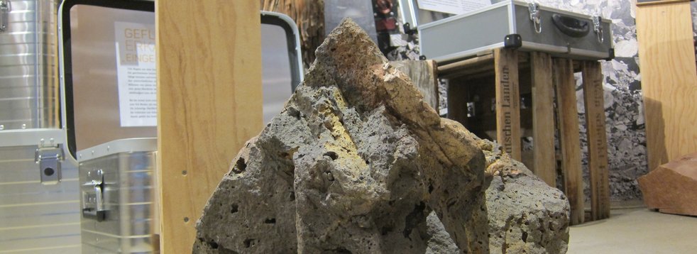
If hot ascending magma meets a water-bearing layer in the underground (groundwater) or surface water (rivers, lakes), the magma cools abruptly. The explosive water vapour produced not only shatters the rising magma, but also the surrounding rock (phreatomagmatic). A funnel is blown into the subsoil, the ejected rock (secondary rock) is deposited in the immediate vicinity of the crater, while fine particles (ash) can be transported over longer distances. Here at the Rehberg, the adjacent rock fragments reach a diameter of up to 1.5 metres.
Fire and water
Only after all the water has evaporated liquid lava can be extracted, which then fills the resulting hollow form. This also happened here at Rehberg. The forces of erosion (weathering and removal) then created today's dome-like appearance.
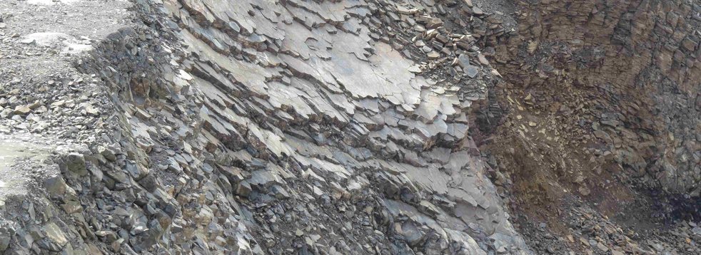
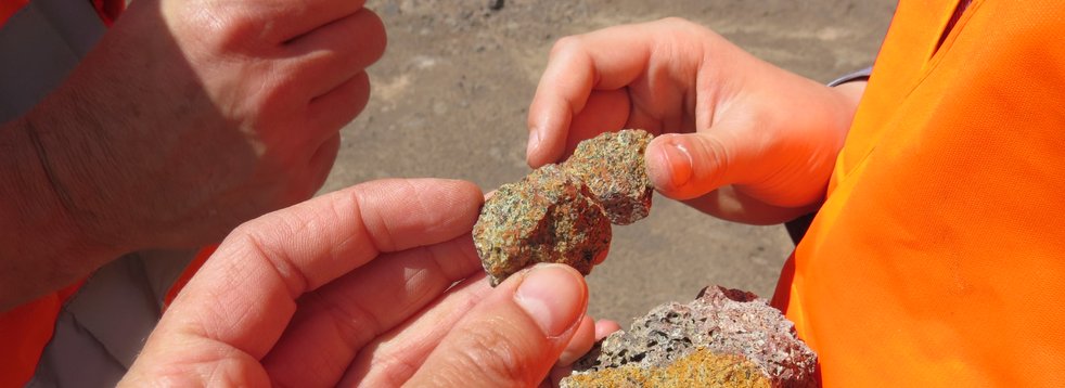
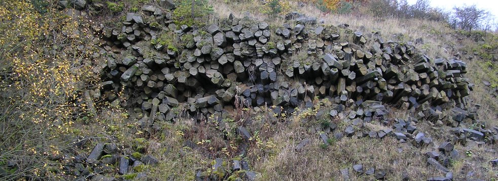
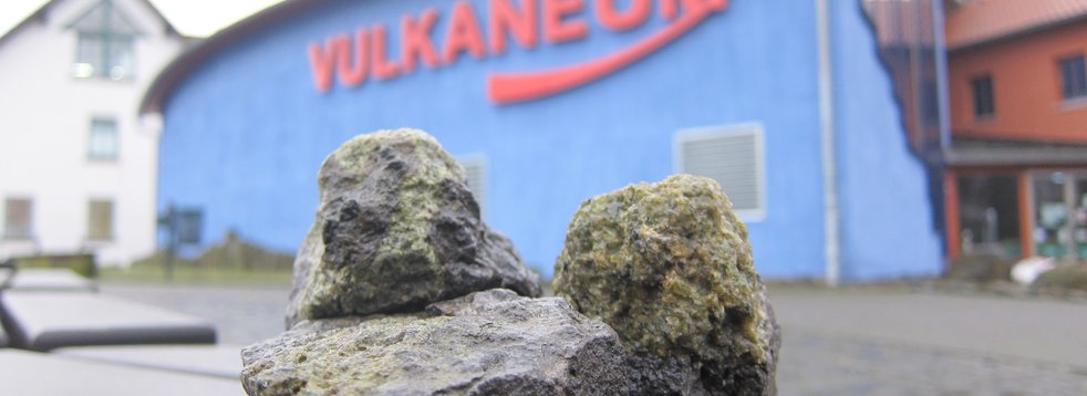
The surroundings of the geotope also show another special feature: Some of the fragments consist of a lighter volcanic rock (trachyte). A pyroclastic flow raced down the slope of a former volcanic vent, creating block and ash stream deposits. These mighty deposits were discovered in 2007 by the Hessian State Office for Environment and Geology during a research well.
The Vogelsberg: Once over 1000 metres high?
After the end of the volcanically active phase, the Vogelsberg was extensively eroded. The volcanic structures, some of which were once mighty, were leveled and rivers divided the region.
In addition, the power of weathering created hilltops that shaped the landscape. These crests were often created by the ability of the rocks to weather to varying degrees. This is due to the structure of the rocks as well as the nature of their formation and composition.
Ultimately, no clear statement can be made about the former height of the volcanic structures in the Vogelsberg. Only a few deposits indicate that there must have been elevations in the past, which must have had a height of 1000 meters and more. Evidence of this was found during the evaluation of the Sichenhausen bore (2007). There are ash stream deposits, which only occur if a certain height relief was present. Comparable deposits of today were formed when hot material raced down the slope of a volcano and reached a speed of several 100 kilometres per hour.
This shows that today the Vogelsberg is missing several hundred meters of height. Weathering and erosion also gnawed at the elevations during active volcanism. However, this process intensified during the volcanic pauses and after the end of volcanism.
In addition, before and during volcanism, the entire area was lowered, especially in the central area, which meant that further altitude was lost.
However, an exact statement about the former altitude cannot be made.
Literature
- Ehrenberg, K.-H. & Hickethier, H. (1985). Die Basaltbasis im Vogelsberg. Schollenbau und Hinweise zur Entwicklung der vulkanischen Abfolge. Geol. Jb. Hessen (113), 97–135.
Francis P. & Oppenheimer, C. (2004). Volcanoes. Oxford University Press. New York.
Kracht, M. & Nesbor, H.-D. (2008). Den Geheimnissen des größten mitteleuropäischen Vulkangebietes auf der Spur. Ein interdisziplinäres geowissenschaftliches Forschungsprojekt im Hohen Vogelsberg. Hessisches Landesamt für Naturschutz, Umwelt und Geologie. Wiesbaden.
-> To the DownloadReischmann, T. & Schraft, A. (2009). Der Vogelsberg: Geotope im größten Vulkangebiet Mitteleuropas. Hessisches Landesamt für Naturschutz, Umwelt und Geologie. Wiesbaden.


