List overview
There are always new geotopes added to the constantly growing list. Discover for yourself:
Old castle near Kaulstoss

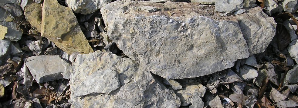
The geotope and natural monument Alte Burg near Kaulstoss is a basalt outcrop and represents something special - a mystery, so to speak.
Is it part of a former lava flow? Or something else?
Alteburgskopf near Schotten

The volcanic rocks of the geotope and natural monument Alteburgskopf are rich in alkalis, which is why it is called alkaline basalt. Due to the weathering of the relatively high content of feldspars, the rock often appears light.
Basalt summit of the Hoherodskopf

The basalt outcrop is located on the Hoehenrundweg and, at 763 m, is the second highest elevation of the Vogelsberg. Its summit is located below the telecommunications tower directly at the car park in front of the information centre. The outcrop consists of basalt, which has a dark grey-black colour and is fine-grained. No inclusions can be seen in the dense porphyric structure.
Bilstein near Schotten

As a geotope, natural monument and vantage point on the Gipfeltour (Summit tour), the 665.5 m high Bilstein is an impressive rock cliff. One finds it above Schotten-Busenborn and it represents the highest elevation of a north-south striking ridge. It consists of platy-banked separate rocks, the slabs standing almost vertically and with an inclination of 70 degrees perpendicular to the longitudinal direction of the cliff.
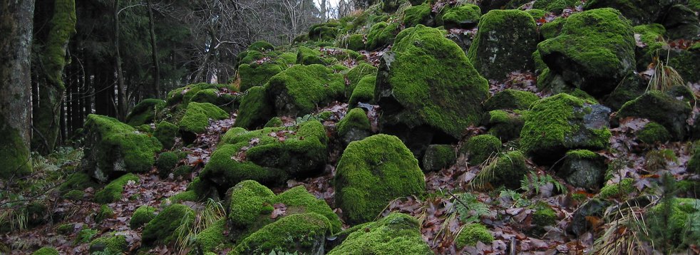
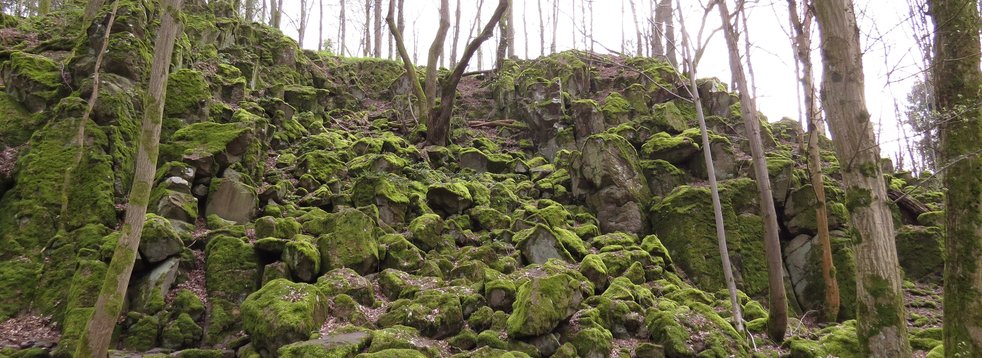
Block heaps at the Taufstein

The block sea from the Ice Age can be found at the Taufstein. This is the highest elevation in the volcanic area of the Vogelsberg. Together with the Herchenhainer Hoehe, Nesselberg, Hoherodskopf and Geiselstein, it forms a flat ridge - the Rhine-Weser-watershed. The baptismal font is formed by a grey-black, compact basanite.
Dicker Stein near Lautertal-Engelrod

The geotope and natural monument awaits you with a view as far as the Rhoen. It probably represents the remnant of a volcanic vent that magma used to find its way up. The powerful force of erosion (weathering and removal) prepared the vent.
Gackerstein near Schotten-Breungeshain

If you look from the Hoherodskopf in the direction of Schotten/Giessen, you will see a gentle hilltop (663 m above sea level) on the opposite slope, which is covered with a nutrient-poor grassland typical for the volcanic soil in the Vogelsberg. The heavily acidified soil provides a habitat for rushes and junipers. In between there are small and large boulders that form a sea of blocks. The rock consists of a black fine-grained basanite.
Geiselstein

The basanite of this volcanic vent has a high magnetite content, which makes it something very special. Here the compass needle is deflected. This anomaly is even recorded in maps for airplanes. But the hostage stone is also impressive by its size: 20 m high and about 50 m wide, this rocky cliff is standing out from the surroundings.
Geological tree hedge near Eichelsachsen

Situated at a junction off the main road, the geotope is a viewpoint and hiking trail at the same time. The "Geological Tree Hedge" opened in 2011 is a project of the Geopark member Initiativgruppe Eichelsachsen. The small forest on the southern edge of the village hides some geological beauties. In addition to the rock outcrop that characterises this site, there are striking stones from the region that are vividly presented.
Gilgbach near Ulrichstein

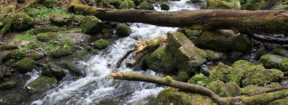
The Gilgbachtal is the result of erosion - the crushing of the rock and rearrangement by watercourses.
East wall of the Amoeneburg Castle
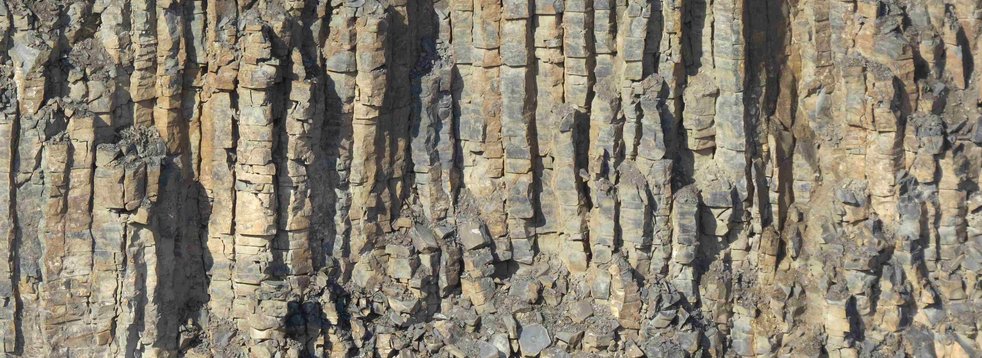
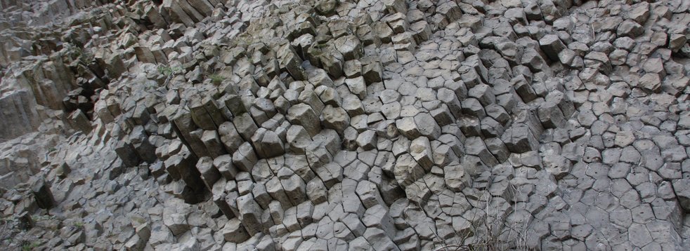
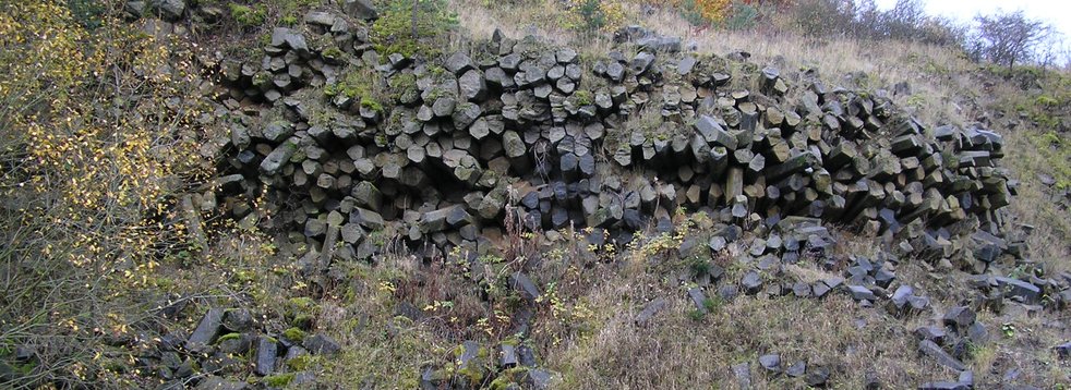
Discover cooled down columns in "Meilerstellung" here. Visible from afar, the 365 m high basanite hilltop of the Amoeneburg rises out of the plain and above the valley of the Ohm. At the 25 m high east wall, which is below the church, flat cooling columns made of basanite are visible.
Schleuningsteine and Dicke Steine near Koelzenhain

The aisle-shaped openings from basalt columns are named after the former mayor of Feldkruecken, Wilhelm Schleuning. The rock group is located about 700 m northeast of Ulrichstein-Koelzenhain. The Schleuning stones, which are listed as a natural monument and have a memorial plaque, consist of vertical basalt columns protruding up to 5 m from the ground, which are formed by tectonic fissures.
Ulrichstein Castle hill

The forces of weathering have prepared the former volcanic vent of the castle hill in Ulrichstein.
Uhuklippen with a devil's table

At Grebenhain-Hochwaldhausen one finds a tectonic formation of large cuboids. The Uhuklippen are an impressive natural monument with a length of almost half a kilometre and a height of 10m. The steep step is fitted into the slope, at its feet a slag heap with block debris has formed. Many of the rock formations form - with a little imagination - exciting figures or faces and several legends in the typical Vogelsberg way entwine themselves around the cliff.
Wilde Saudeck

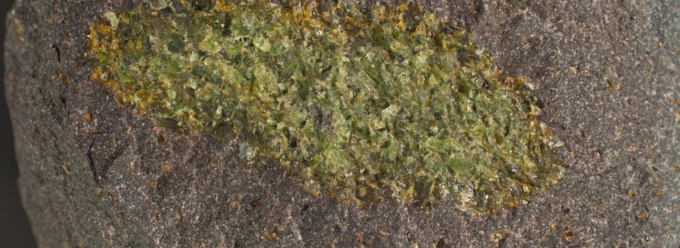
The tuff breccia in the middle of basanite can be found north of Schotten-Sichenhausen. On the eastern slope of the Rehberger, which rises like a volcanic cone above the valley, there is a group of impressive cliffs with an unusual name. While the Rehberg itself consists of basanite with small single specimens of olivine and clinopyroxen and a fine-grained matrix, the cliffs of the natural monument are made of a pyroclastic breccia.

